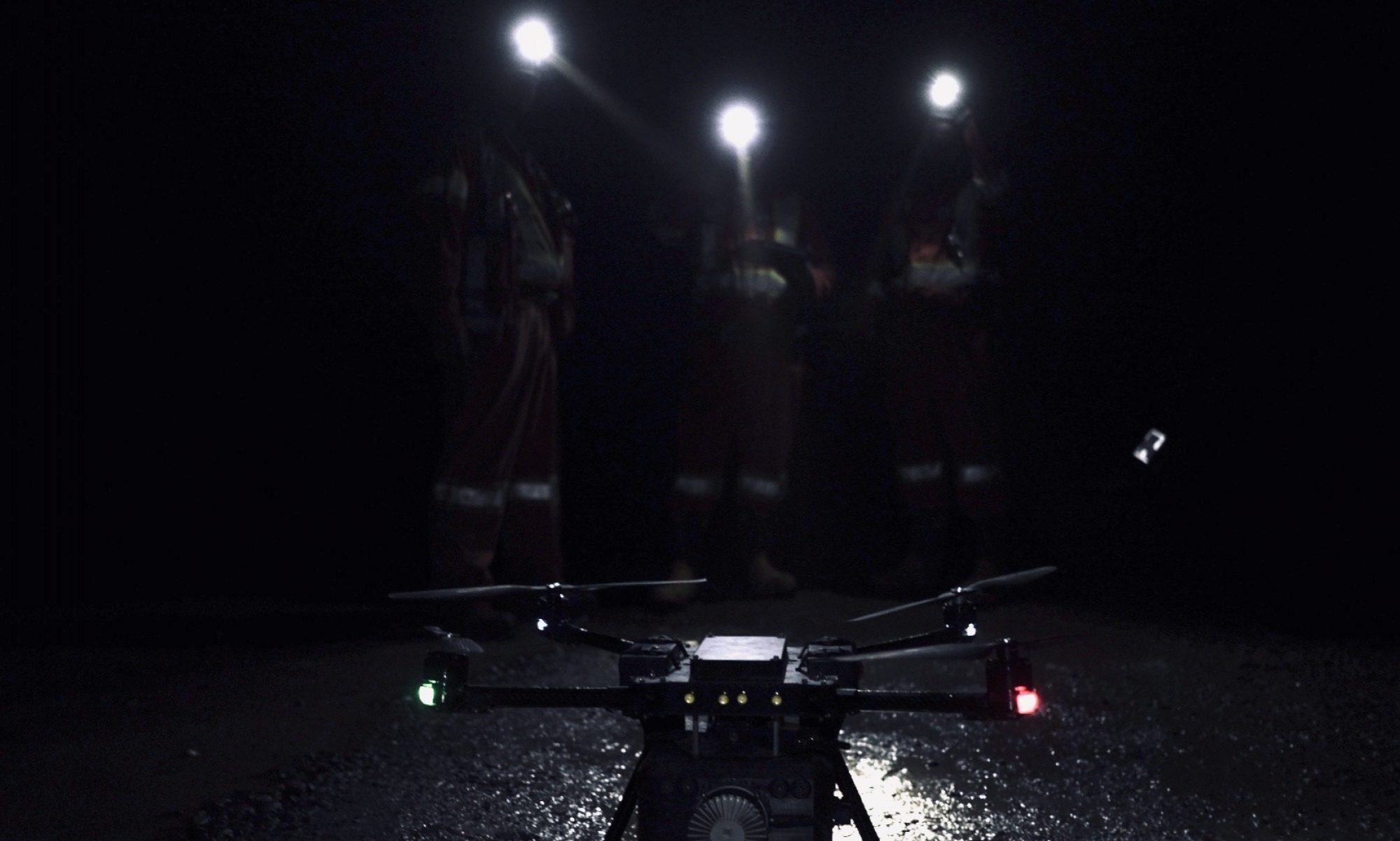
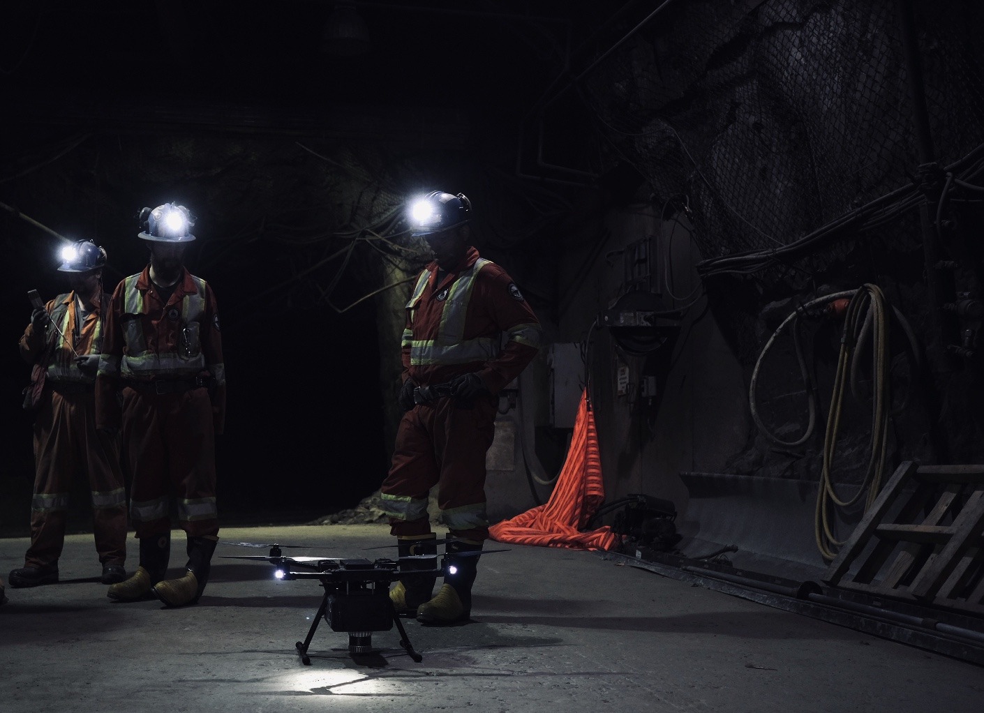
Extreme conditions and inaccessible areas, make mining inherently high risk for the miner, the equipment and infrastructure.
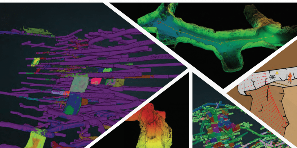
That is why the point clouds are used to capture data in underground areas so that miners and geotechnics can understand the effect of stresses, induced by the mining process on the rock.


We eliminate the risk by keeping personnel safe at a distance and minimizing the time required to map any hazardous or inaccessible areas.
Mining and geotechnical engineers can inspect quickly and safely open stopes, shafts, raises or any inaccessible area, with minimal interruption to production.
VERTICAL STRUCTURE SCANNING
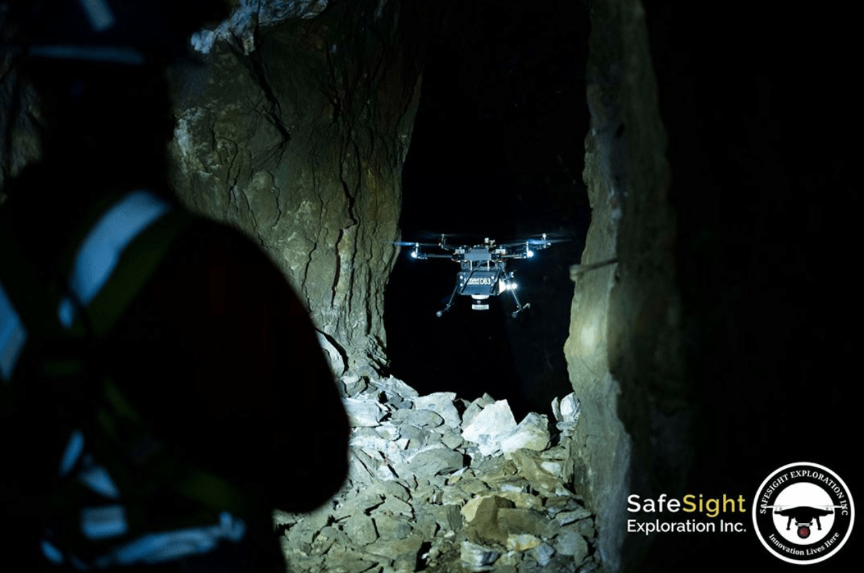
The point clouds of vertical infrastructure, as the shafts, raises of ventilation, open stopes and ore passes, have always been difficult and expensive to inspect or monitoring.
The exposure to falling objects makes the inspection really difficult. The traditional techniques put personnel safety at risk, and are often expensive, dangerous, time-consuming, and can put these areas out of production for extended periods.


However, the inspections remain a high priority, because many vertical areas of excavations are unsupported and susceptible to self-excavation.
Either in response to a change in stress conditions, a loss of confinement (concrete) or by deterioration and rupture from material that continuously fall through it (for example, ore).
We provide a fast, low-cost data acquisition method for monitoring and controlling these excavations.
SURVEYING OF OLD MINES
The surveying and generation of point clouds of old mines, untouched by years, are high-risk environments for personnel and equipment.
Working with a variety of accessories and equipments, we are able to assess and digitize entire mines, while personnel remain safe in controlled areas.


